For banks and institutional lenders
Case Studies Real locations. Clear questions for your review.
Ten case studies across Austria, Germany, Czechia and the Netherlands. Explore how CRI brings historical imagery and geodata into questions about construction finance, real-estate collateral and infrastructure.
Explore the ten case studies ↓ Case studies based on real historical data.
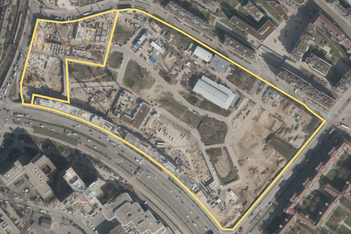
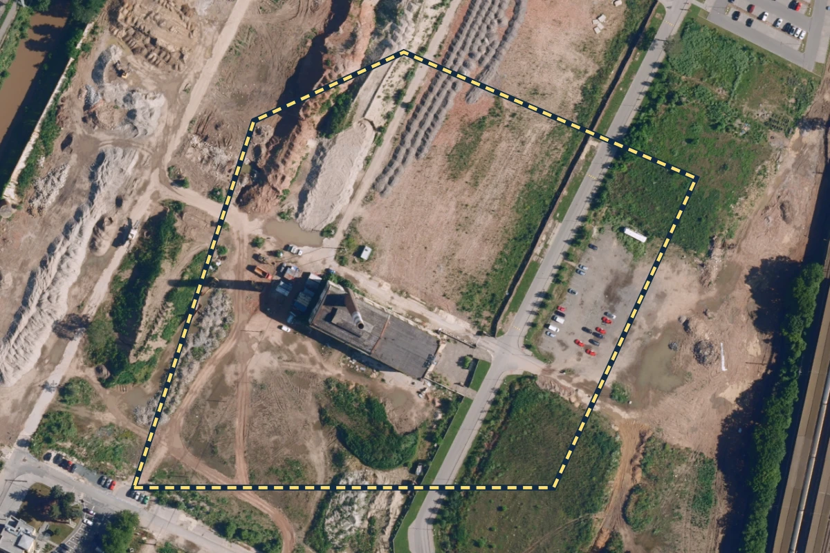
Construction finance Locations 5 Historical aerial view · district context Datenquelle: basemap.at · CC BY 4.0 VILLAGE IM DRITTEN Vienna, Austria
Which building and scope does the milestone cover?
Available in The Brief
Explore The Brief → Source details Acquisition date unverified.
District context; two retained OSM-derived working polygons. No building or contractual milestone boundary is identified.
© OpenStreetMap contributors · ODbL 1.0
Original source and metadata
Image and outline resized together for display. The outline is for orientation; it does not establish a collateral or milestone boundary.
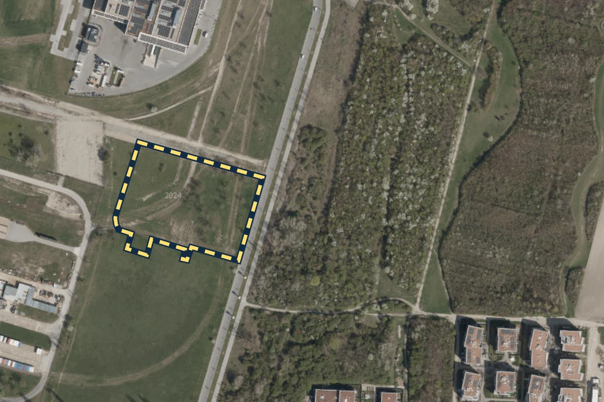
Historical aerial view · orientation area Datenquelle: basemap.at · CC BY 4.0 Aspern Vienna, Austria
Which schedule version is the basis for the review?
Available in The Brief
Explore The Brief → Source details 2024 watermark; exact acquisition day unverified.
Dashed working area ASP-W01, 1.45 ha; OSM-derived orientation geometry.
© OpenStreetMap contributors · ODbL 1.0
Original source and metadata
Image and outline resized together for display. The outline is for orientation; it does not establish a collateral or milestone boundary.
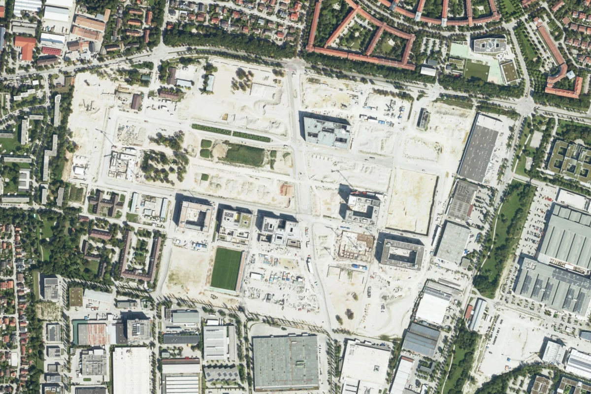
Historical aerial view · district context Bayerische Vermessungsverwaltung · CC BY 4.0 Munich–Neufreimann Munich, Germany
Which dated sources support the milestone review?
Available in The Brief
Explore The Brief → Source details Acquired 24 August 2024.
District image crop; no mapped asset boundary.
Original source and metadata
Image and outline resized together for display. The outline is for orientation; it does not establish a collateral or milestone boundary.
Historical aerial view · orientation area © ČÚZK / Zeměměřický úřad · CC BY 4.0 Smíchov City Prague, Czechia
What does the technical adviser’s review cover?
Available in The Brief
Explore The Brief → Source details Praha 7-2, 2025 product reference; exact acquisition day unverified.
Dashed working area SMI-W01, 5.78 ha; OSM-derived orientation geometry.
© OpenStreetMap contributors · ODbL 1.0
Original source and metadata
Image and outline resized together for display. The outline is for orientation; it does not establish a collateral or milestone boundary.
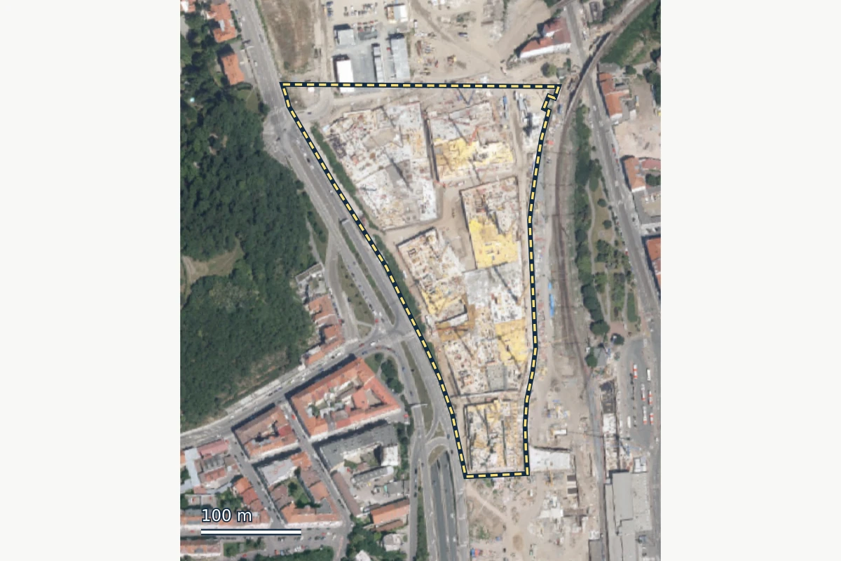
Historical aerial view · orientation area © ČÚZK / Zeměměřický úřad · CC BY 4.0 Nová Zbrojovka Brno, Czechia
Which parts of the review question does the response answer?
Available in The Brief
Explore The Brief → Source details Acquisition date unverified.
Dashed analyst-defined working area BRN-AOI-01, 3.97 ha, based on developer context and OSM river/railway context; not a surveyed site boundary.
© OpenStreetMap contributors · ODbL 1.0
Original source and metadata
Image and outline resized together for display. The outline is for orientation; it does not establish a collateral or milestone boundary.
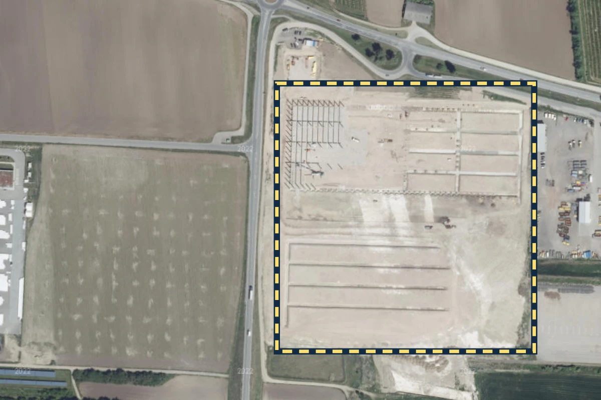
Real-estate collateral Locations 2 Historical aerial view · orientation area Datenquelle: basemap.at · CC BY 4.0 CTP Vienna East Bruck an der Leitha, Austria
Which access routes matter to the property review?
Available in The Brief
Explore The Brief → Source details 2022 watermark; exact acquisition day unverified.
Dashed working area CTPV-CTX-W01, 9.12 ha; basemap.at context. Confirm access routes and the relevant property boundary separately.
Original source and metadata
Image and outline resized together for display. The outline is for orientation; it does not establish a collateral or milestone boundary.
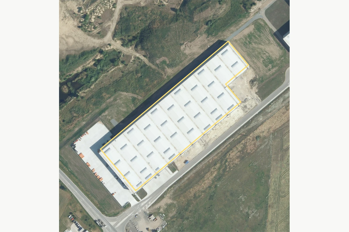
Historical aerial view · building outline © ČÚZK / Zeměměřický úřad · CC BY 4.0 Prague North Kozomín / Úžice, Czechia
How can the property’s review history stay traceable?
Available in The Brief
Explore The Brief → Source details Acquisition date unverified.
OSM-derived candidate building footprint at CTPark Prague North; not a confirmed bank asset boundary.
© OpenStreetMap contributors · ODbL 1.0
Original source and metadata
Image and outline resized together for display. The outline is for orientation; it does not establish a collateral or milestone boundary.
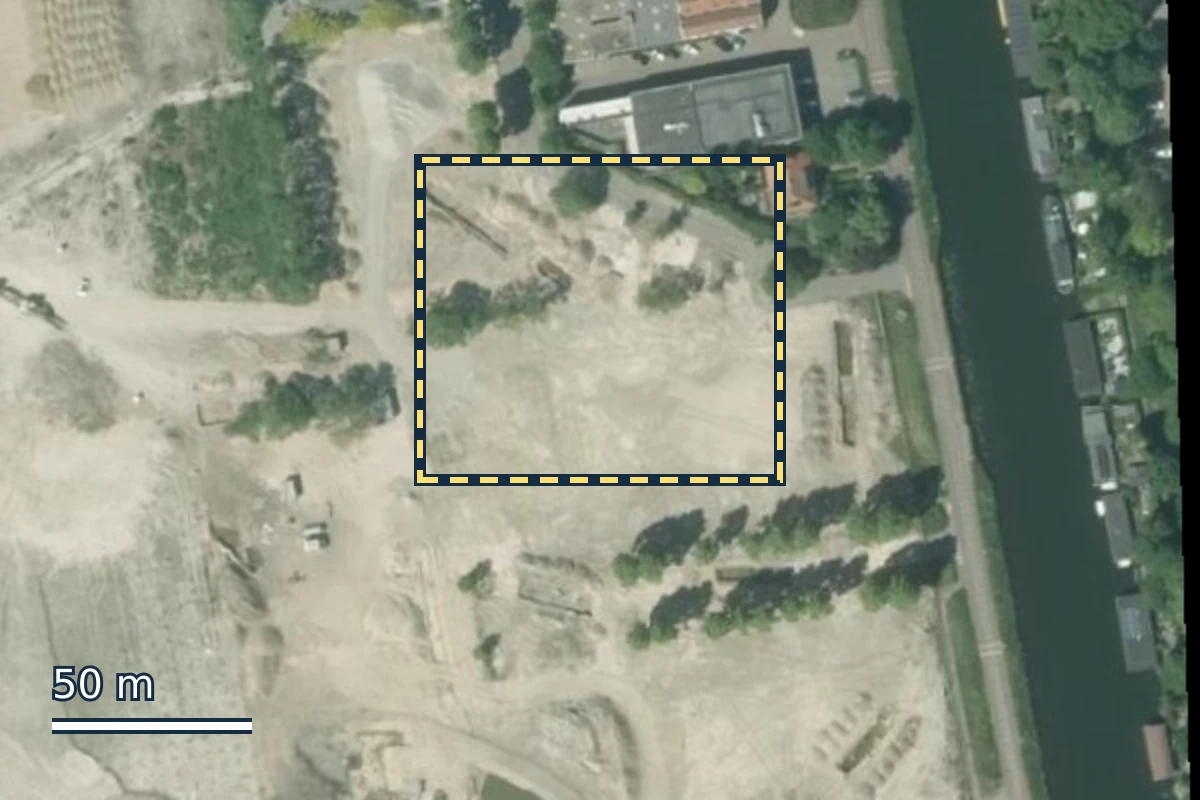
Further property and infrastructure contexts Locations 3 Historical aerial view · orientation area Beeldmateriaal Nederland / PDOK · CC BY 4.0 Merwede Utrecht, Netherlands
Which project phase do the documents cover?
Available in The Brief
Explore The Brief → Source details 2025 mosaic; exact acquisition day unverified.
Dashed analyst-defined orientation window; not a project phase or cadastral boundary.
Original source and metadata
Image and outline resized together for display. The outline is for orientation; it does not establish a collateral or milestone boundary.
Historical aerial view · orientation area Beeldmateriaal Nederland / PDOK · CC BY 4.0 CTP Amsterdam Amsterdam, Netherlands
How can one unit be updated within a larger property record?
Available in The Brief
Explore The Brief → Source details 2025 orthophoto layer; exact acquisition day unverified.
Dashed working area CTPA-CTX-W01, 6.27 ha; Beeldmateriaal Nederland / PDOK context. Individual units are not mapped.
Original source and metadata
Image and outline resized together for display. The outline is for orientation; it does not establish a collateral or milestone boundary.
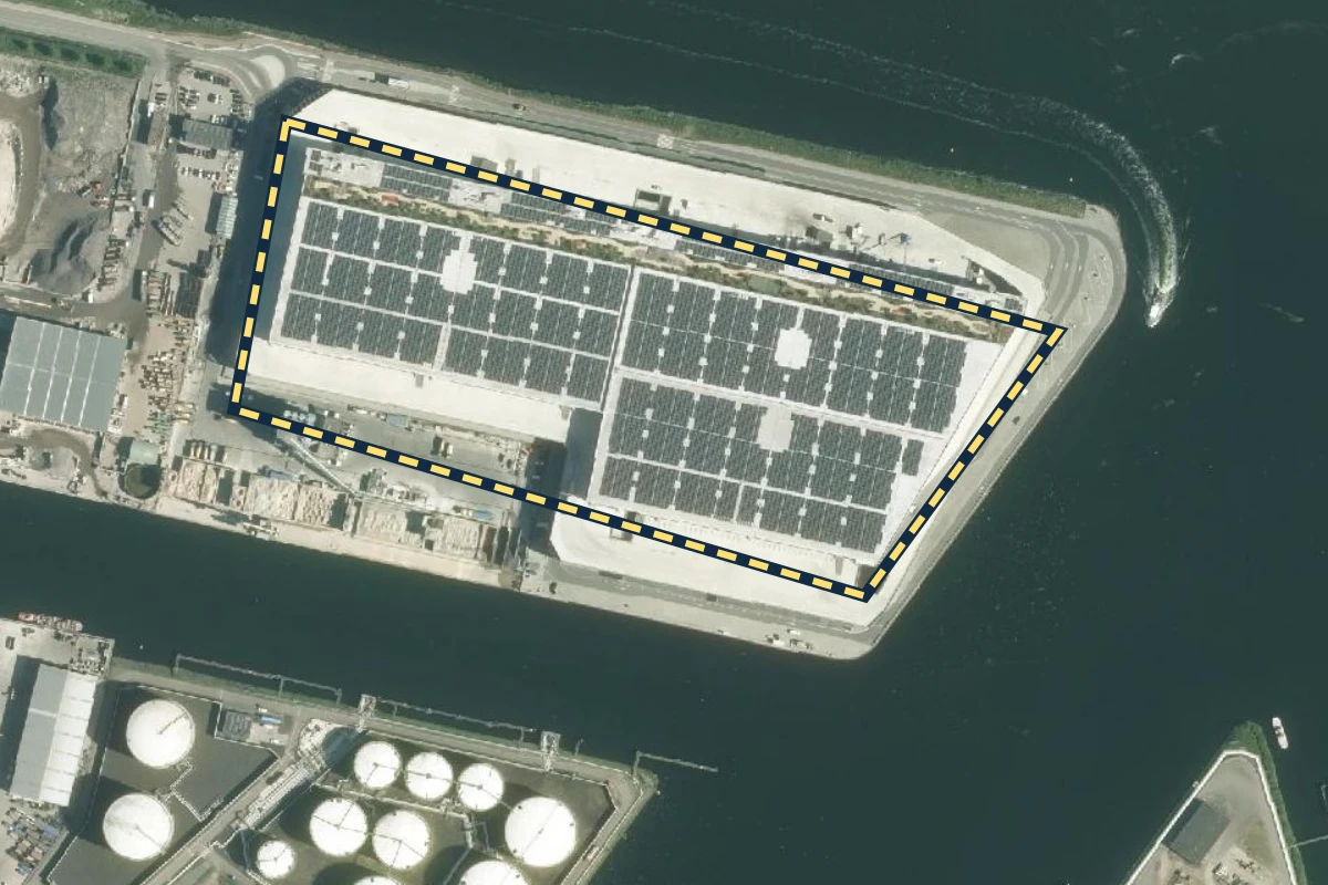
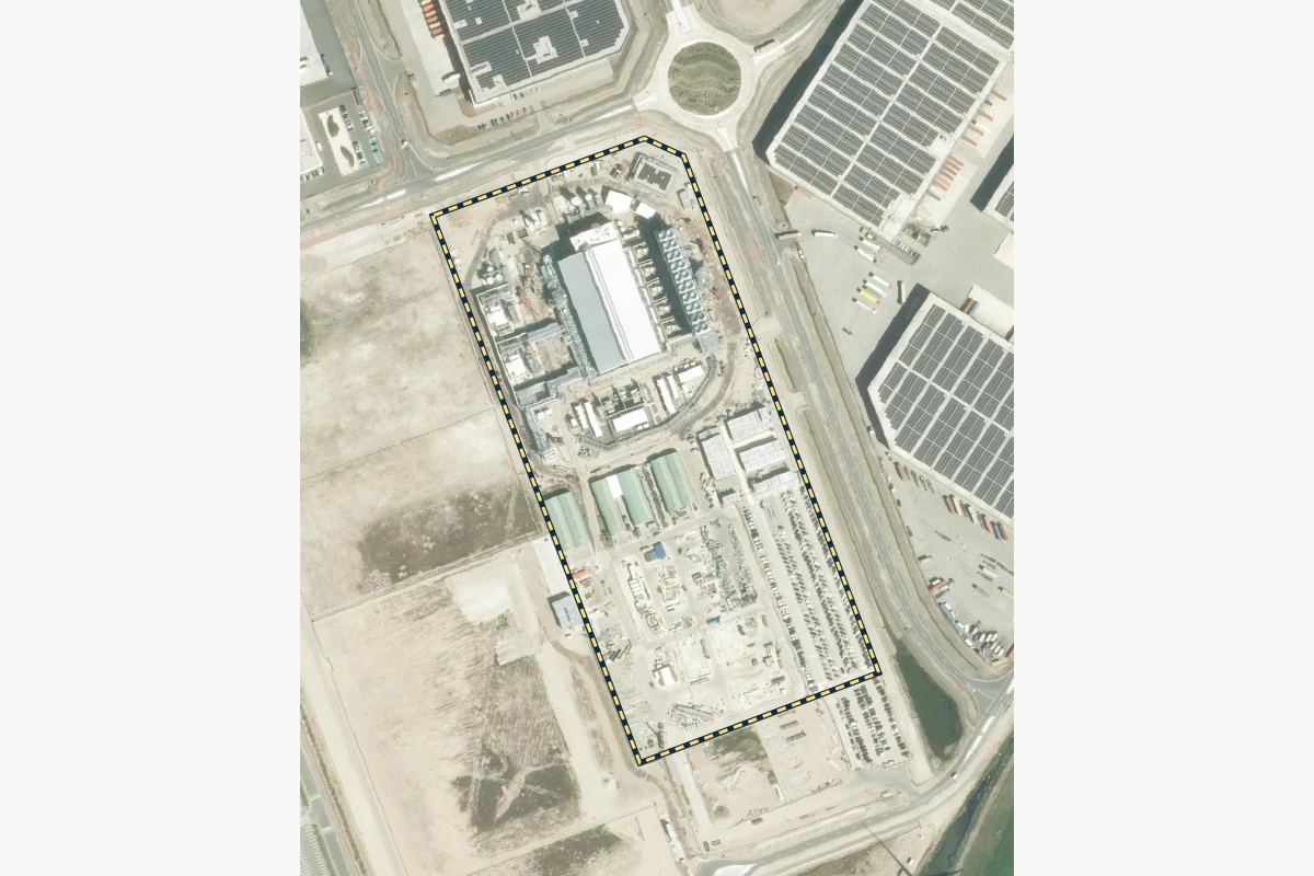
Historical aerial view · orientation area Beeldmateriaal Nederland / PDOK · CC BY 4.0 Holland Hydrogen I Rotterdam, Netherlands
Which records distinguish construction from operation?
Available in The Brief
Explore The Brief → Source details 2025 orthophoto layer; exact acquisition day unverified.
Dashed working area HH1-W01, 8.03 ha; OSM-derived orientation geometry.
© OpenStreetMap contributors · ODbL 1.0
Original source and metadata
Image and outline resized together for display. The outline is for orientation; it does not establish a collateral or milestone boundary.
The Brief
Explore the review in The Brief. Open the ten case studies, follow the review steps and see how sources, open questions and the next action fit together. Add your own notes and download the brief.
Free access by invitation. Use your invitation code, or request access.
We review each request and send invitations by email.
The Brief is available now. A separate CRI demonstrator is in final development, with a demonstration planned for October 2026. Institution-specific configuration, calibration and evaluation require an agreed scope and responsible human review.
Understand the review Connect milestones, dated observations and supporting records.
Put visible changes into the context of the property review.
Understand dates, coverage and what each source can show.
Bring your own review question. Discuss the property, available records and what your team needs to establish. We can then agree the scope of the next step.
Discuss my review question →