 3BrainAI
Case study · 24 Aug 2024
Alram14 · Munich
A documented restart. Two published dates. Which schedule applies?
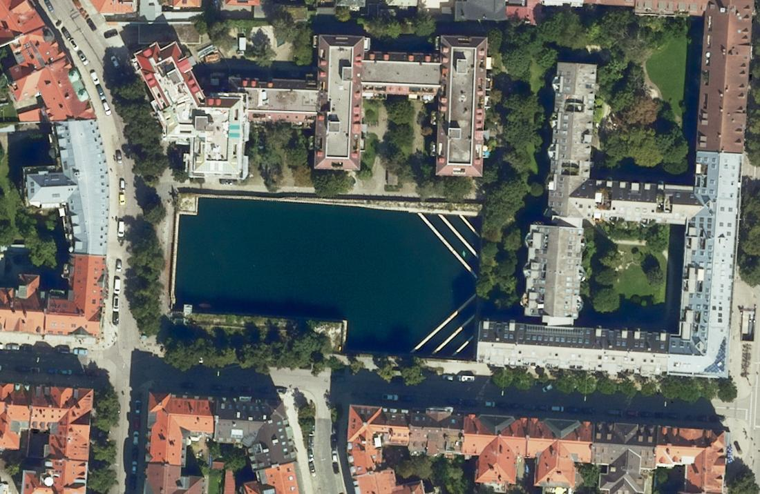
Open the case studyBayerische Vermessungsverwaltung · Geodaten Bayern · CC BY 4.0 · Historical orthophoto; cropped.
The Brief · Free access by invitation
Explore seven model situations for a bank review: the question, the evidence and the next human step.
Illustrative scenarios, not customer results. Plus ten case studies using real locations, historical imagery and geodata.
For journalists, banking professionals, investors, partners and other interested visitors. Access to The Brief is always free.
Can’t find your invitation, or having trouble entering? Contact us at cri@3brain.ai.
Case study · 24 Aug 2024
A documented restart. Two published dates. Which schedule applies?
Open the case studyBayerische Vermessungsverwaltung · Geodaten Bayern · CC BY 4.0 · Historical orthophoto; cropped.
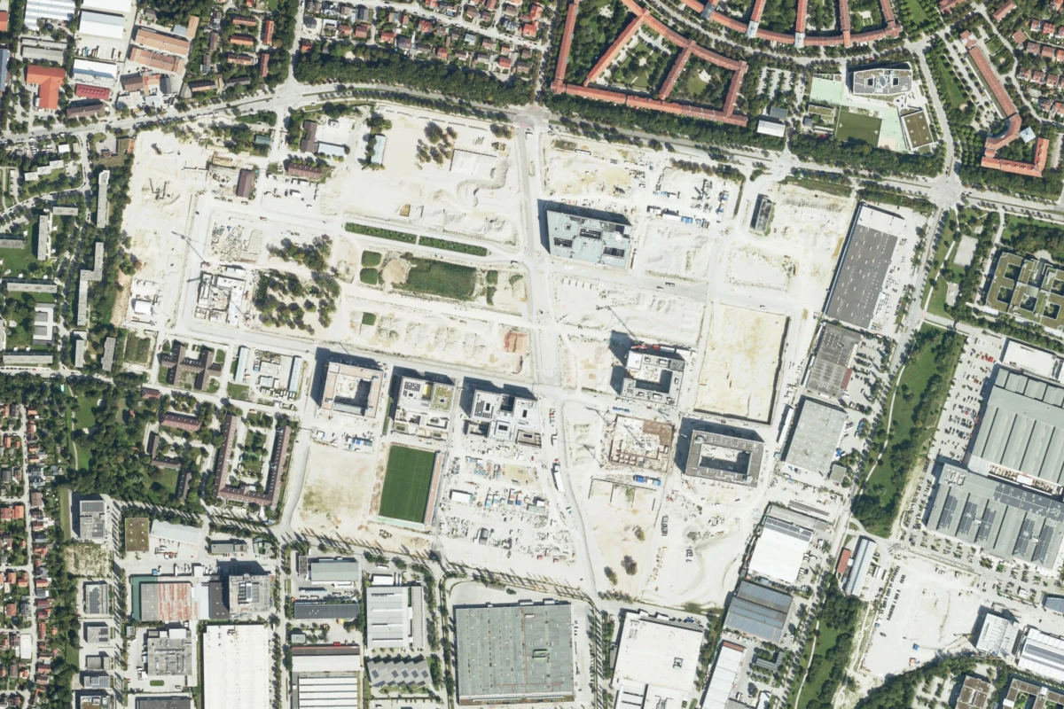
Historical aerial view · district context
Which dated sources support the milestone review?
Explore this exampleAcquired 24 August 2024. Bayerische Vermessungsverwaltung · CC BY 4.0 · Analyst-defined orientation window, 3BrainAI · District image crop; no mapped asset boundary.
Public record · v0.5
Read the question, dated observations, limits and next review step in the actual document.
Inspect the Evidence Pack3BrainAI · Public illustrative record. No client engagement or bank decision is represented.
These public summaries introduce the review question, source material and limits of each case. Full case records and the interactive walkthrough are available in The Brief with an invitation code.
Which building and scope does a milestone cover? Historical basemap.at imagery and OSM-derived orientation outlines place the Vienna district in context. They illustrate why the building and contractual scope must be established separately.
Which schedule version is the basis for the review? A basemap.at aerial view with a 2024 watermark and an OSM-derived working area provide site context. The case frames the need to link the review to a dated schedule; the image alone cannot identify that version.
Which dated sources support the milestone review? Aerial imagery from the Bavarian Surveying Administration, acquired on 24 August 2024, provides district context. The case illustrates the need to connect dated observations to the relevant milestone records.
What does the technical adviser’s review cover? Historical imagery from ČÚZK / Zeměměřický úřad and an OSM-derived orientation area provide context for the Prague site. The case distinguishes the area shown from the scope that the adviser must confirm.
Which parts of the review question does a response answer? Historical ČÚZK / Zeměměřický úřad imagery and an analyst-defined working area provide context for the Brno site. The example separates this source context from questions that still need a documented response.
Which access routes matter to the property review? A basemap.at aerial view with a 2022 watermark provides context for Bruck an der Leitha. The example shows why access routes and the relevant property boundary need separate confirmation.
How can the property’s review history stay traceable? Historical ČÚZK / Zeměměřický úřad imagery and an OSM-derived candidate building outline provide context for Kozomín / Úžice. The example frames traceable source references while keeping the candidate footprint distinct from a confirmed bank asset boundary.
Which project phase do the documents cover? A 2025 aerial mosaic from Beeldmateriaal Nederland / PDOK provides context for Merwede in Utrecht. The example distinguishes an orientation window from a verified project-phase boundary and the records needed to define it.
How can one unit be updated within a larger property record? The 2025 orthophoto layer from Beeldmateriaal Nederland / PDOK provides site context. The case frames the need for separate unit records; individual units are not mapped in this public orientation view.
Which records distinguish construction from operation? A 2025 orthophoto from Beeldmateriaal Nederland / PDOK and OSM-derived orientation geometry provide Rotterdam site context. Images can place physical structures in context; commissioning and operating status require separate records.
Historical imagery provides context; it does not certify contractual milestones, asset boundaries or operating status. The public case gallery lists source details and date limitations.
The public Evidence Pack and The Brief present prepared examples. The CRI demonstrator is in development. The functions available in a demonstration and the scope of any paid engagement are agreed separately. Specialist review remains part of the process.
The Brief is a free walkthrough. A first paid engagement starts with one property, an earlier report and a current review question. Scope, specialist involvement, price and delivery date are agreed before work begins. Any wider pilot is agreed separately.