
Historical case study
Munich–Neufreimann
A new district. Which evidence supports the milestone?
Explore the image and sources ↓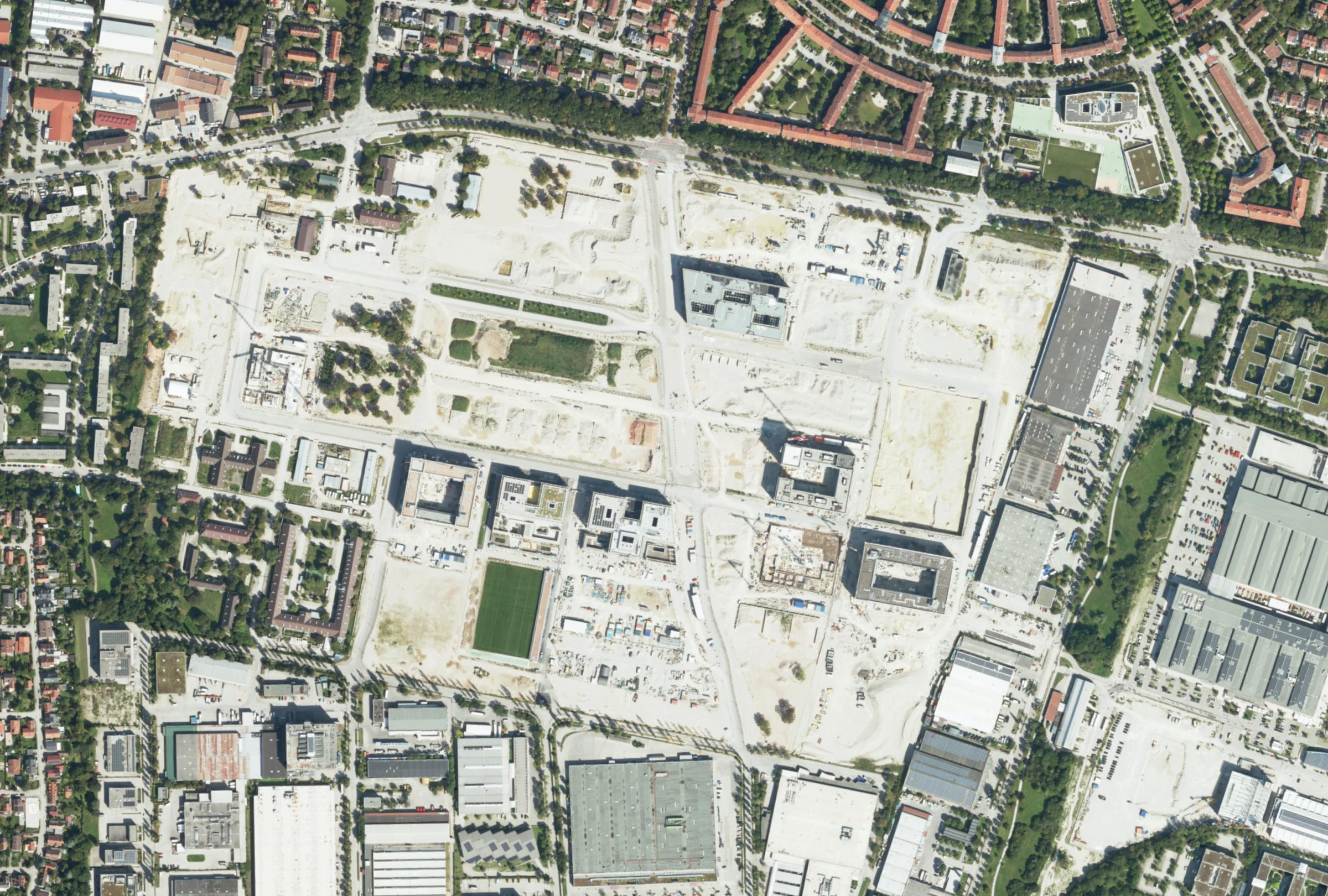 Munich–Neufreimann
District crop, reprojected and resampled for display.
In Munich’s Neufreimann district, a former barracks site is becoming a neighbourhood with around 5,500 homes planned. On 25 August 2026, Münchner Wohnen announced the completion of 190 homes in building area WA12.
NEUFREIMANN · SOURCE REFERENCE
Neufreimann · dated source context
↑ N≈ 200 m- 01Working area (AOI)
- The magenta frame marks the full retained district-and-surroundings crop. It is not a property or WA12 boundary.
- 02Dated reference
- DOP20 aerial image acquired on 24 Aug 2024. Acquisition date checked against source metadata at five points.
- 03Next review step
- Compare with dated Sentinel observations and project records. This aerial image does not establish completion of WA12.
View technical basis
Working area WGS84: 11.588–11.608° E / 48.194–48.203° N. DOP20 source resolution: 20 cm; the WMS crop was reprojected and resampled for display (approx. 62 cm per retained pixel). Source checks and spatial alignment support validation; this view does not present a validated analytical result.
Source-data previews
This prepared case demonstrates the review record and its reasoning boundaries. Dated imagery provides source context; no validated AI classification result is presented in this view.
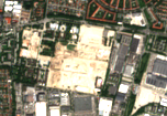
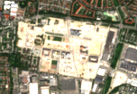
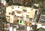
Contains modified Copernicus Sentinel data (2020, 2024, 2026). Earth Search / AWS Sentinel COGs.
Neufreimann source route: the retained Sentinel previews were obtained through Earth Search / AWS Sentinel COGs. The aerial image is from the Bavarian surveying authority.
District transformation is visible; completion of WA12 is not established by these images.
The 2020, 2024 and 2026 observations describe the wider district. The latest image predates the announcement by 10 days. These selected dates are historical context, not a monitoring frequency.