
Earth observation
A shifted image can look like a changed property
Before treating an apparent image difference as a property change, check whether the observations can be compared reliably.
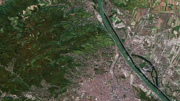
 CDSE
Image credit and licence
Contains modified Copernicus Sentinel data (2017), processed by ESA · CC BY-SA 3.0 IGO · Image cropped for display
Source facts
On 3 November 2026, the Copernicus Data Space Ecosystem reported positioning errors in some Sentinel-2B products acquired from 20 to 22 October 2026. The notice identified the affected acquisitions and described their removal while recovery options were being investigated.
Our reading for property reviews
Overlay a property boundary on two images. If a roof edge appears to have moved, compare fixed features nearby. A road junction or an established building that shifts in the same direction gives you a reason to check how the images are aligned.
Record each acquisition date, the product identifier and processing version. Check the provider’s notices, the resolution and any cloud or shadow over the area in question. An image can be suitable for checking one part of a site and unusable for another.
A review record should distinguish a visible change, no detectable change and insufficient evidence. Where the comparison fails, document why and request a replacement image or a dated site report. The November notice describes specific historical acquisitions.
Question for the next review
Could a data-quality issue explain the apparent difference before a property-related explanation is pursued?